
Homepage
Alberta Energy Outlook 2025
Comprehensive information on Alberta’s diverse energy resources
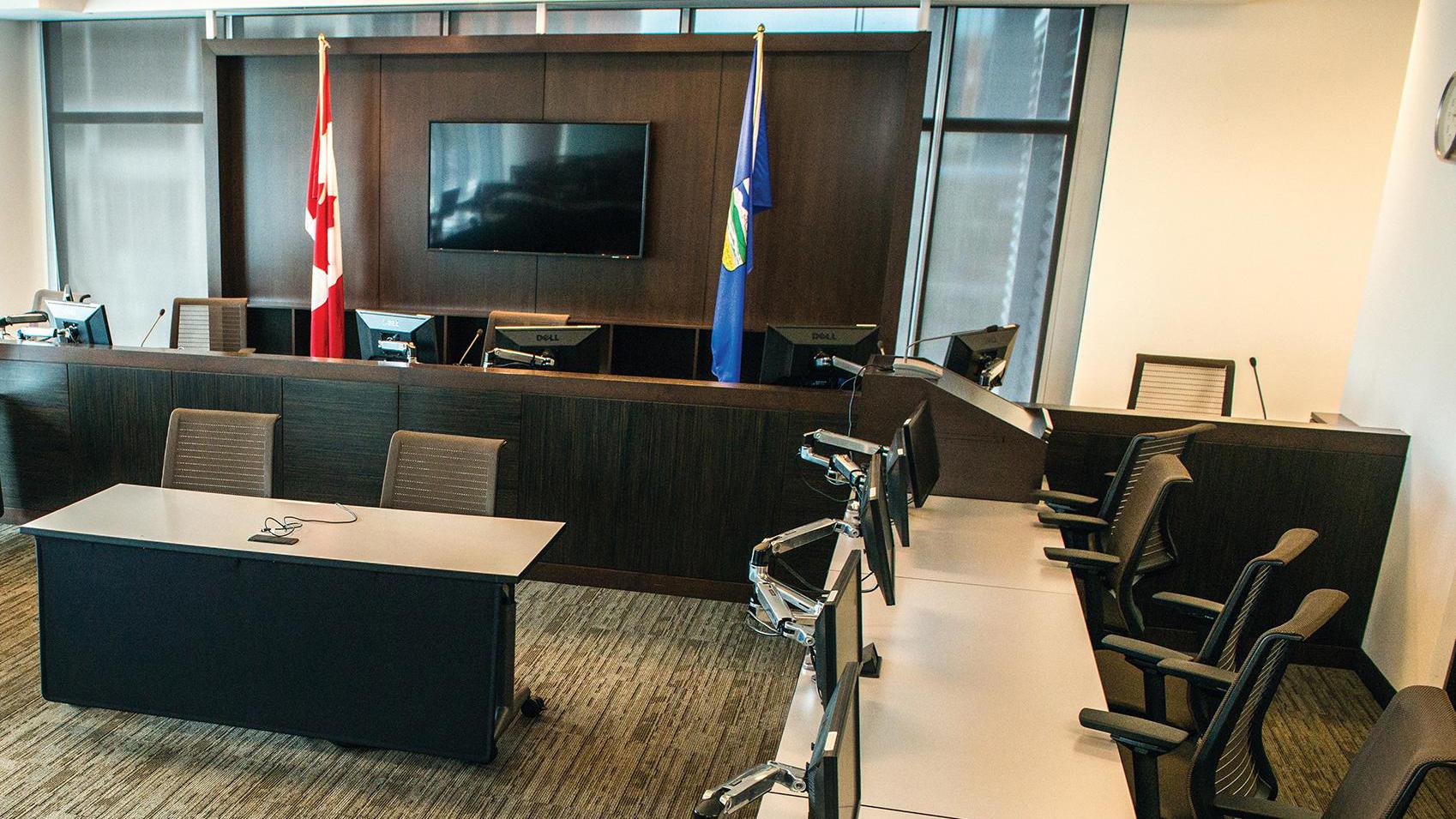
Hearings
We use hearings to gather information before making a decision on energy applications that cover gas and oil wells, pipelines, sour gas processing plants and major oil sands and coal projects.
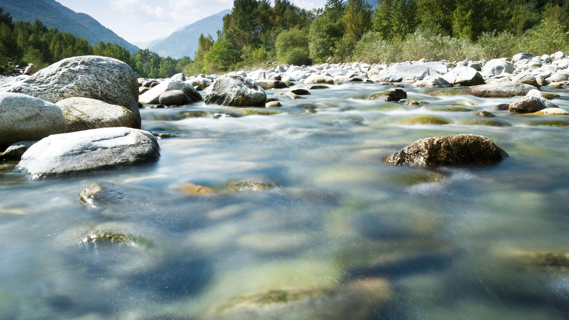
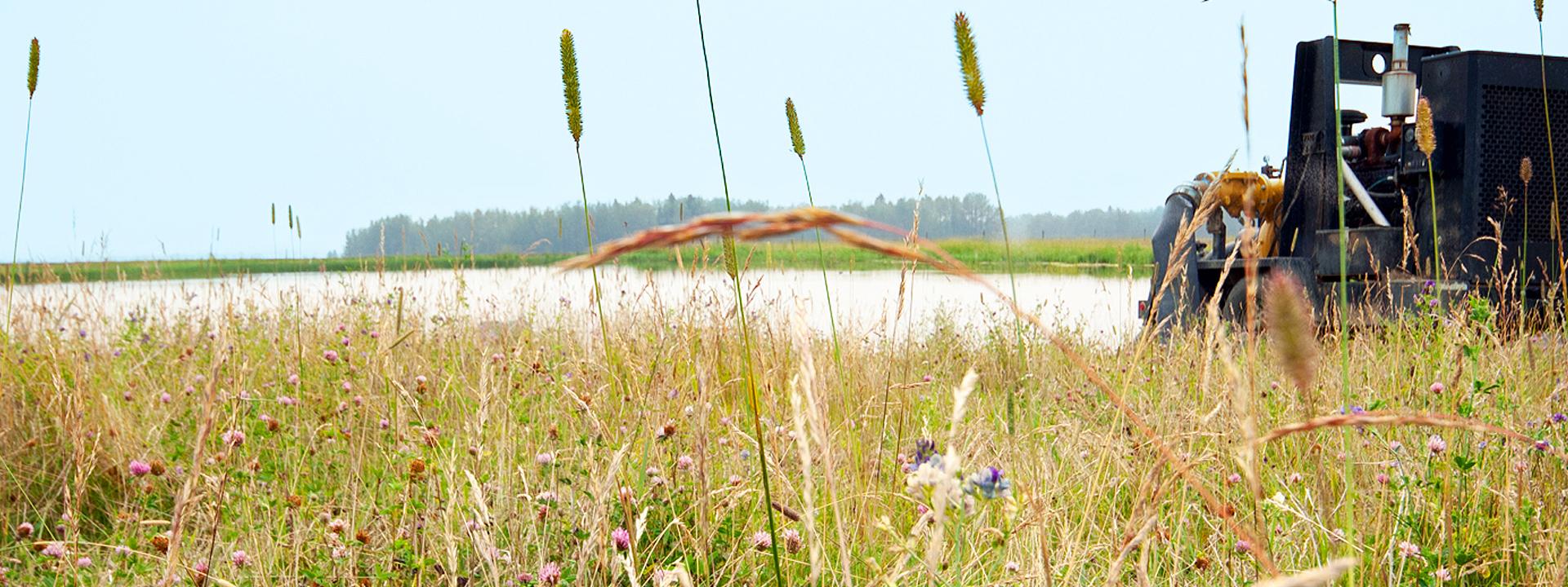
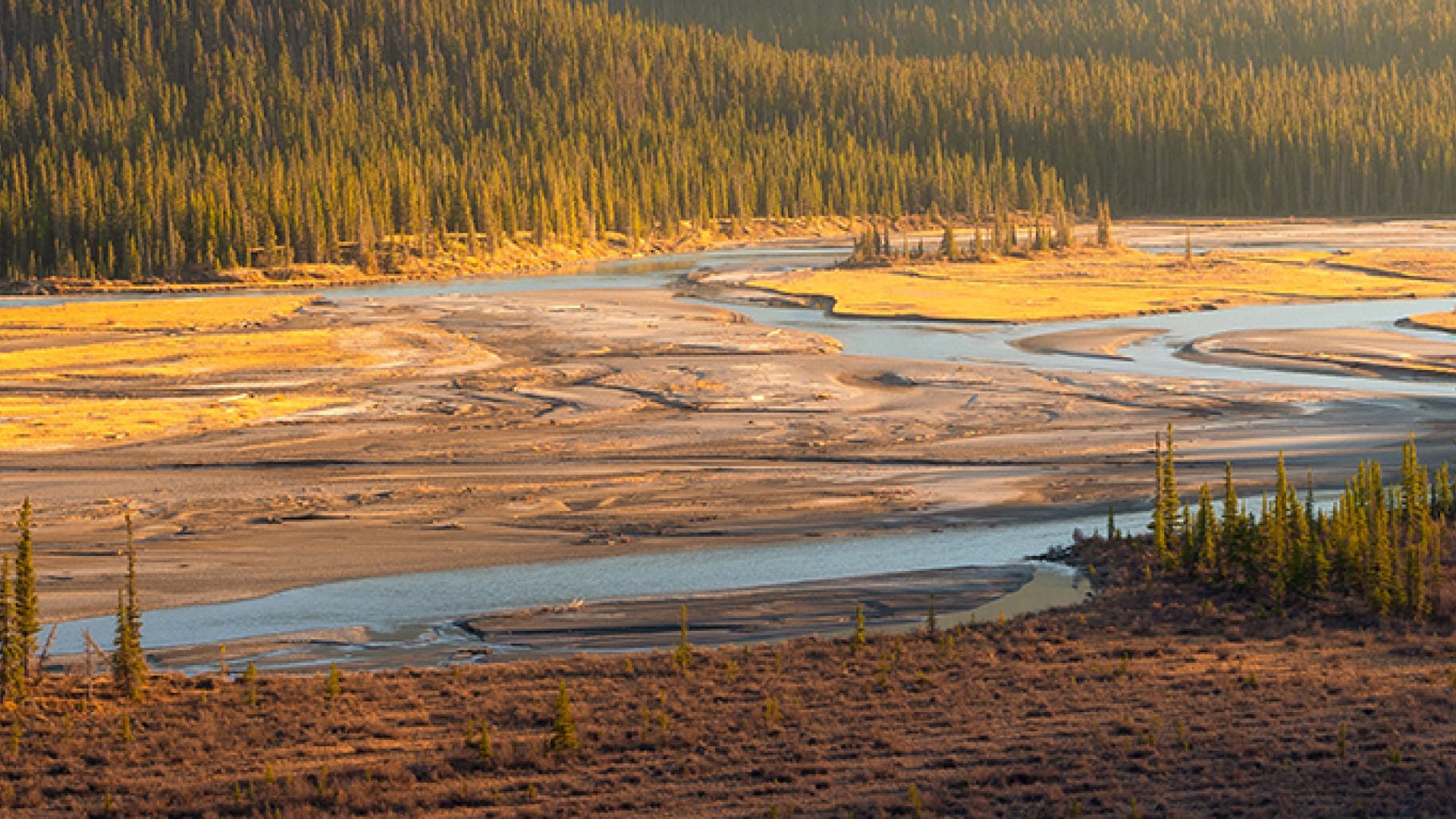
Water
Protecting the environment, including water, is part of the AER’s mandate. Any energy or mineral resource development project that involves water is under our authority.
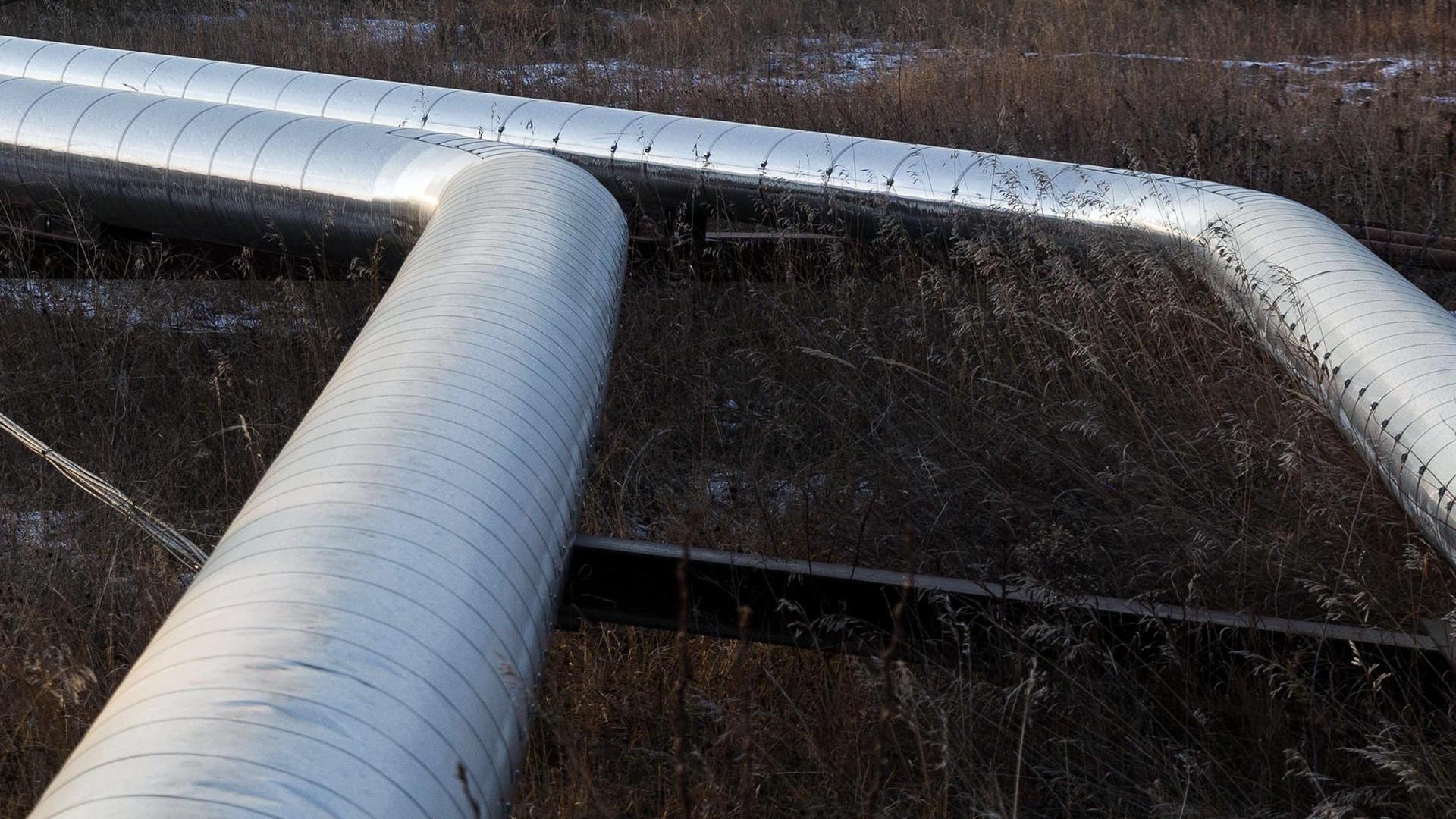
Carbon Capture
Carbon Capture Storage uses a range of technologies and processes that involves capturing, transporting, and injecting carbon dioxide into deep subsurface geological locations.
Services and Information


